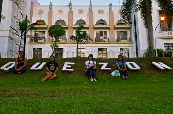
Quezon is a province of the Philippines in the CALABARZON region located in the south of Luzon island. The province was named after Manuel L. Quezon, the second President of the Philippines and the first to be freely elected. Lucena is the provincial capital, seat of the provincial government and the most populous city of the province, but is governed independently as a highly urbanized city.
To distinguish the province from Quezon City, it is sometimes called Quezon Province.
Quezon is southeast of Metro Manila and is bordered by the provinces of Aurora to the north, Bulacan, Rizal, Laguna and Batangas to the west and the provinces of Camarines Norte and Camarines Sur to the east.
Part of Quezon lies on an isthmus connecting the Bicol Peninsula to the main part of Luzon. The province also includes the Polillo Islands in the Philippine Sea. Some marine parts of the Verde Island Passage, the center of the center of world's marine biodiversity, are also in the province.
A major tourism draw to the province is Mount Banahaw. The mountain is surrounded by spiritual mysticism with many Anitist adherents, Christian cults, and Christian organizations staying on the mountain.
The mountain was also one of the most sacred sites for pre-colonial Tagalog people before the arrival of the Spanish. Numerous pilgrims visit the mountain especially during Holy Week.
Quezon, east of Metro Manila, is the 8th largest province in the Philippines having an area of 8,989.39 square kilometres (3,470.82 sq mi).[29] It is the largest province of Calabarzon, comprising 879,660 hectares or 53.21% of the total land area of the region.
Of this area, 513,618 hectares is categorized as agricultural land.[30] The northern part of the province is sandwiched between the Sierra Madre mountain range and the Philippine Sea. The southern part consists of the Tayabas Isthmus, which separates the Bicol Peninsula from the main part of Luzon Island, and the Bondoc Peninsula which lies between Tayabas Bay and Ragay Gulf.
Because of this, majority of towns in the province have access to the sea. The province is bounded by the provinces of Aurora, Bulacan, Rizal, Laguna, Batangas, Camarines Sur and Camarines Norte. It is bounded to the east by the Pacific Ocean and to the south by Tayabas Bay. The province is said to be characterized by a rugged terrain with patches of plains, valleys and swamps.
The major islands of Quezon are Alabat Island and Polillo Islands. Mount Banahaw, an active volcano, is the highest peak at 2,169 metres (7,116 ft).[31] It supplies geothermal power to the Mak-Ban Geothermal Power Plant.
The province has a total of 1,066.36 km of coastline[30] and has several bays including Burdeos Bay, Lamon Bay, Calauag Bay, Lopez Bay, Ragay Gulf, Pagbilao Bay and Tayabas Bay. The Infanta Watershed has extensive and highly productive aquifers while Mauban and Atimonan have no significant groundwater. According to the DENR, in 2003, Quezon had 231,190 hectares of forest cover.However, due to rampant illegal logging as well as kaingin, these forests are constantly threatened.
Because of the sheer size of Quezon, different areas have different climate patterns. Most of the province falls under Type IV Climate which means that rains are evenly distributed throughout the year. Polillo, Infanta and parts of Calauag fall under Type II climate which means that there are no dry seasons but there is a pronounced wet season from November to April.
Parts of the western towns of Tiaong, San Antonio, Dolores and Candelaria as well as the tip of Bondoc Peninsula including parts of Mulanay, San Francisco, San Narciso and San Andres fall under Type III climate. This means that there is a relatively dry season from November to April.[citation needed] Although these are the patterns observed, it is important to note that with climate change, these patterns have become more erratic. Typhoons have become stronger through the years, causing problems such as power outages, road blockages, landslides, flashfloods and crop damages.
Quezon comprises 39 municipalities and one component city (Tayabas), which are organized into four legislative districts and further subdivided into 1,209 barangays.
The capital, Lucena City, is independent from the administrative and fiscal supervision of the province, but is eligible to vote for provincial officials.
